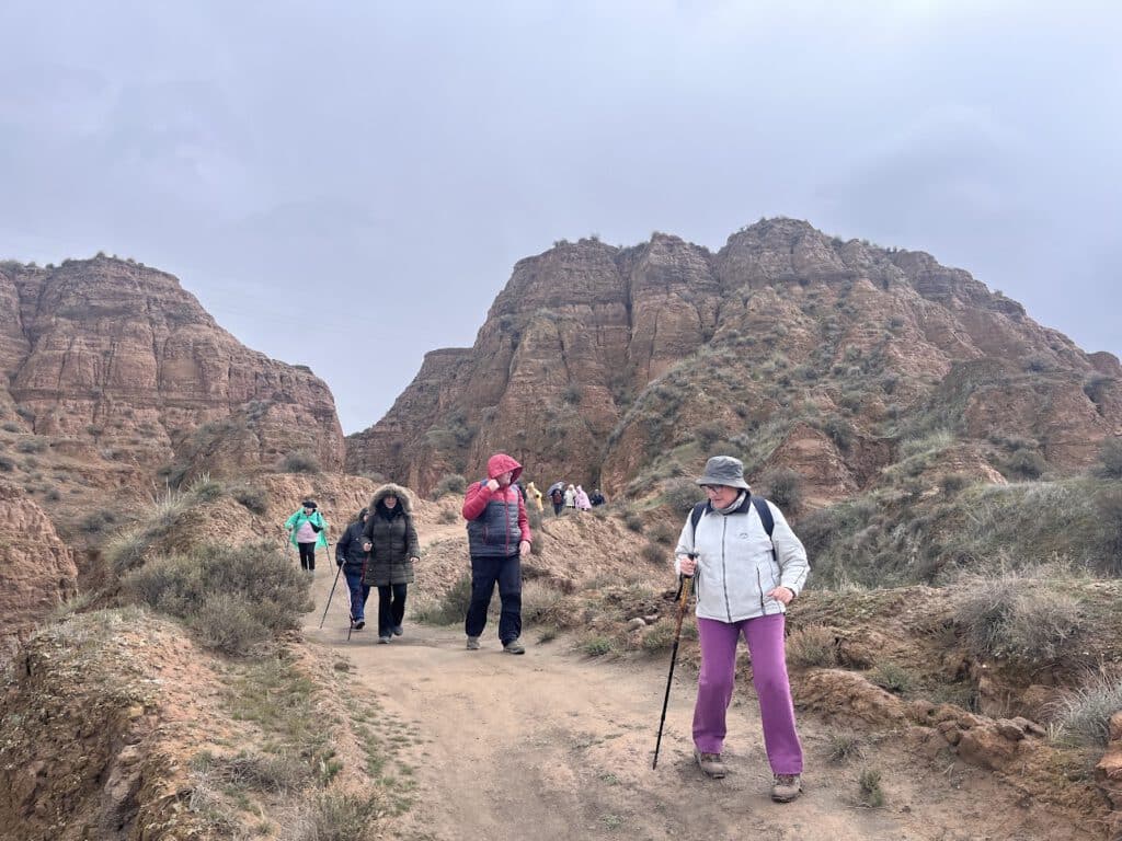
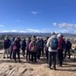
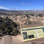
On March 3, the first edition of the Hiking Program for Seniors of the Municipal Sports Board of the City of Almeria, with the route "SL-A 279 Miradores de Benalúa". to know the nearby Geopark from Grenada. It was a circular route of about 6 km in length, with continuous descents and ascents, starting and ending in Benalúa and passing through various viewpoints enabled to rest and enjoy the scenery.
Benalúa, formerly known as Benalúa de Guadixis a municipality located in the region of Guadix, in the province of Granada. It borders the municipalities of Fonelas, Guadix and Purullena. The municipality of Benalúa is located in the Hoya de Guadix, surrounded by some of the highest mountains of the Iberian Peninsula. Its geological history dates back to an ancient landlocked river and a lake fed by its waters, which left stony testimony of the terrestrial ecosystems that developed in Western Europe during the last two and a half million years.
Benalúa is one of the 47 municipalities that comprise the Geopark of Granada, whose area covers 4,722 km2 of the 3 subcomarcas that occupy the northern part of the province of Granada: Guadix and Marquesado, Baza and Huéscar, and the Eastern Mountains. It was declared a UNESCO World Geopark on July 10, 2020, for being a territory with a geological heritage of exceptional value, on which a sustainable territorial development strategy based on education and tourism is configured.
One of the great attractions of the route we took was to observe the badlands, an area of ravines and gullies of spectacular shapes. These clay lands have been eroded by water and wind over millions of years. Its origin dates back to the great inland lake that existed in the Guadix-Baza depression. During this period, the fluvial currents progressively shaped these landscapes, giving rise to thousands of square kilometers of badlands. These arid and fascinating terrains are one of the treasures of the Geopark of Granada, landscapes that tell us the geological history of the Earth and allow us to appreciate the constant action of the natural elements in the formation of our environment.
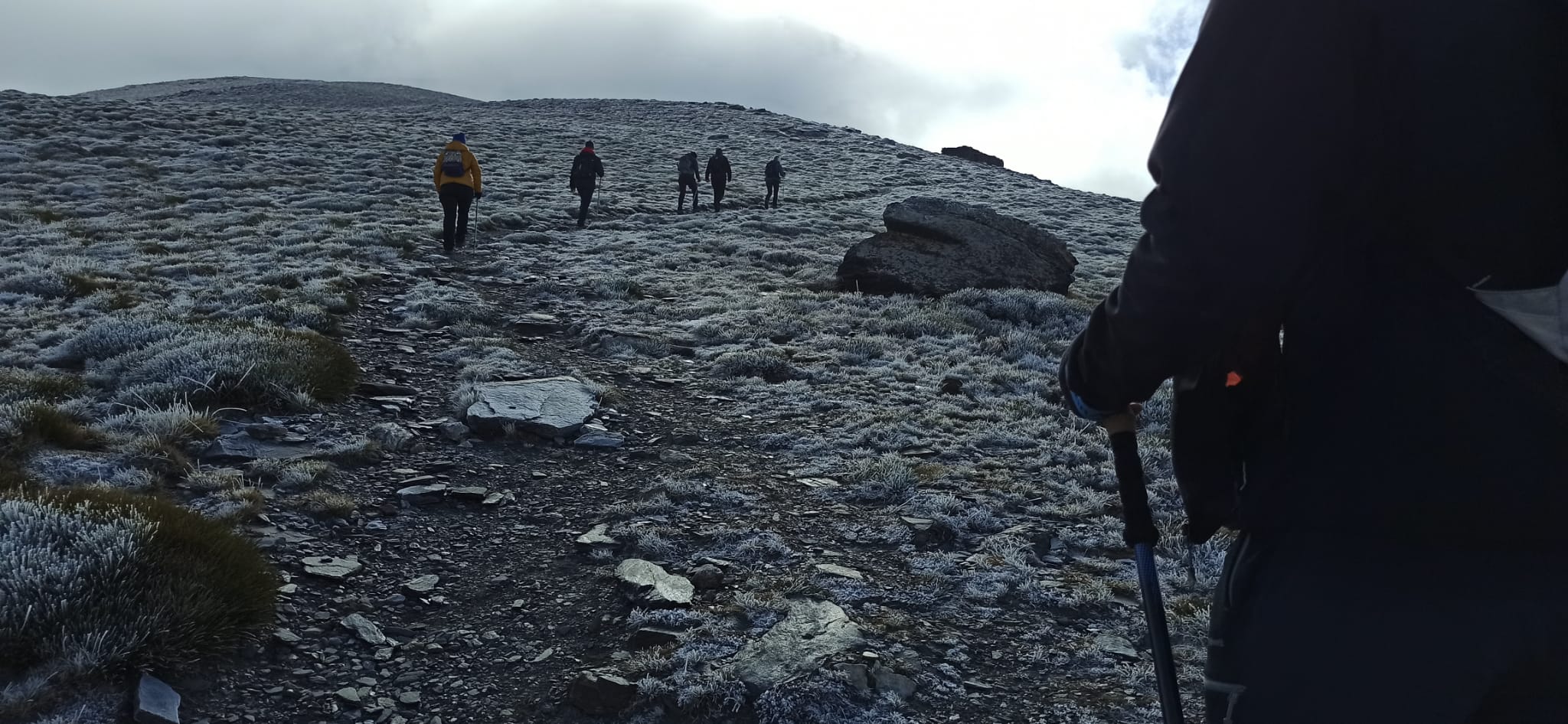
Here are some photos of the routes, very different days as far as weather is concerned.... On the 3rd we enjoyed a sunny and cold day, with spectacular views of Sierra Nevada, and on the 10th we enjoyed the same, but this time a winter day where there was time for rain, sun, wind and clouds, without this being a drawback for us to perform the planned route.
See Album 1 > https://photos.app.goo.gl/u2g3FkLjLhcjsNvG7
See Album 2 > https://photos.app.goo.gl/EAkEB1QvZNtR3N338
